EarthCam Network
One of the premier live-camera networks globally. EarthCam offers high-resolution 4K live streaming, time-lapses, and PTZ controllable views of global cityscapes, beaches, and island harbors.
Bypass the commute and immerse yourself in pristine coastlines, secluded mountain peaks, and cultural landmarks through live streaming video networks and digital cartography.
Direct RTSP and HTTP live feeds broadcasting uninterrupted high-definition video of tides, horizons, and weather patterns.
High-resolution terrain mapping, photogrammetry models, and Street View spheres that put you on the ground anywhere.
Stationary, pan-tilt-zoom (PTZ) optical cameras situated inside national reserves, coral reefs, and animal sanctuaries.
Click any card below to launch the live remote webcam or interactive map experience directly.
 Live Webcams
Monitor crystal-clear waters and coral reefs via dedicated coastal feeds streaming from French Polynesia's most renowned atolls.
 360° Photogrammetry
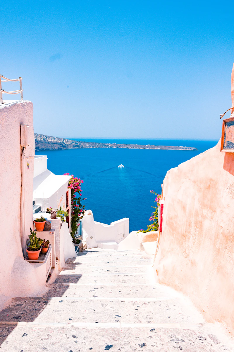
Navigate vertical cliffside streets and sun-drenched Mediterranean shorelines using high-density 3D photogrammetry and street photospheres.
 PTZ Wilderness Cam
Watch alpine weather fronts shift over glacial waters and track wildlife crossings using remote pan-tilt-zoom optical wilderness streams.
Verified directories, live cam streaming networks, and mapping interfaces for remote exploration.
One of the premier live-camera networks globally. EarthCam offers high-resolution 4K live streaming, time-lapses, and PTZ controllable views of global cityscapes, beaches, and island harbors.
Access high-resolution 3D photogrammetry, full planetary exploration, and curated "Voyager" guided interactive tours of secluded natural wonders, remote archipelagos, and national parks.
Specializes in crystal-clear live streams spanning Southern Europe, the Caribbean, and coastal resorts. Excellent for monitoring real-time turquoise beaches and Mediterranean ports.
The world's largest live nature and wildlife camera network. Offers underwater ocean cameras, African watering holes, Arctic habitats, and tropical coastal preserves.
A meteorological powerhouse integrating thousands of localized, real-time public and private webcams pinned directly onto global wind and satellite interactive maps.
A specialized project capturing high-altitude 360-degree aerial photographs and 360-degree interactive video flights over the most remote geographical locations on the planet.